 |
| Me and Jenna |
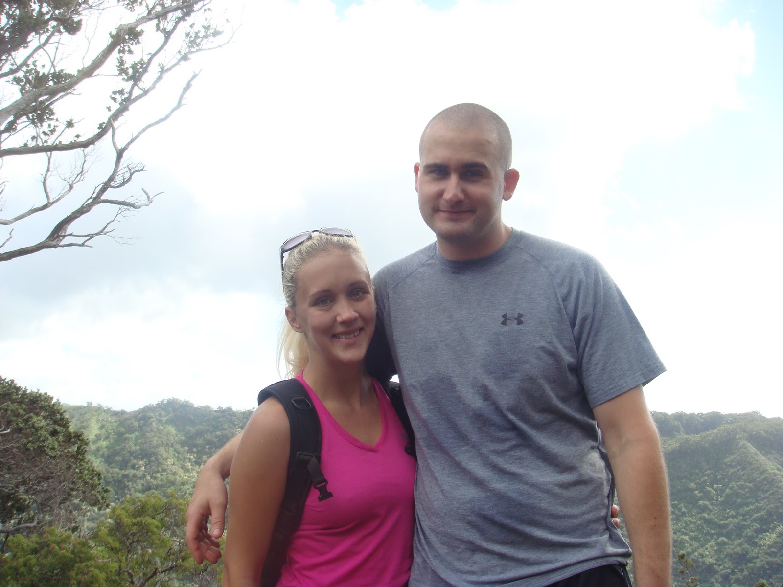 |
| Me and Matthew |
Well, go figure we parked in the wrong area so we had to walk to the top of the park, which is where the trail started, it started with a plaque for a memorial of the I believe it was 10 military members whose plane crashed into the mountain in 1944. The trail was pretty easy, just rather long, ending at probably just over 5 miles. there were a few downed trees in the path ways, lots of mud which made for interesting situations, including this lady in front of us at one point taking a HUGE digger! I'm not going to lie, I sort of chuckled. Poor little Jenna also took a digger once! I was just trying not to fall off the mountain, also trying to not get my shoes or myself muddy! I was successful until I reached the end of the trail then is when I kicked mud all over myself! There was also the excitement of the guys running ahead of us and hiding trying to scare us, it worked one time out of the 5 that they tried!
 |
| Zach being a monkey! :) |
The views from the trail were pretty nice, including an awesome view of the H-3 highway from one side of the mountain. This hike is a popular family hike, with little to no elevation, we did see a lot of families with small children on the trail. Along with people running with dogs and just running in general. They claim this is a bike trail as well, which I would not want to take my bike on, to many downed trees and the mud I could imagine would be very dangerous.
 |
| H-3 |
Coming soon, hopefully the Mount Olympus hike!
 |
| Photo by Jenna :) |
By the end we had hiked for about 2 1/2 hours, and Jenna's heart rate monitor clocked us in at burning about 900 calories!
Length: 5 miles
Profile and Elevation
I took this profile and elevation map from www.oahuhiking.com
I took this profile and elevation map from www.oahuhiking.com
No comments:
Post a Comment